North Luzon Tours • Philippines Tours
Your reliable partner for your vacation in the Philippines
Information about the provinces
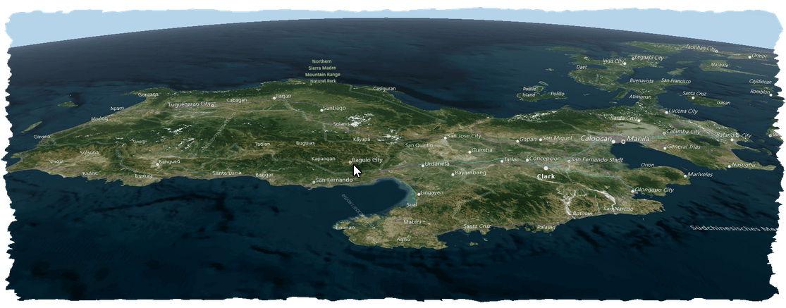
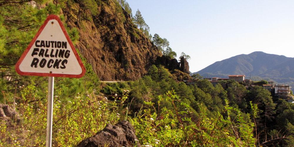
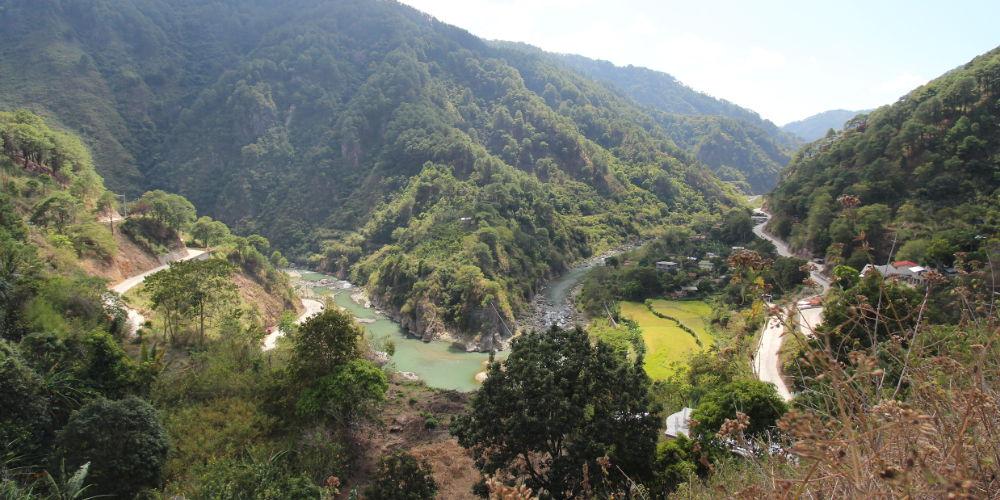
Our tours in Central and Northern Luzon pass through exactly 16 provinces (out of a total of 22), covering an area about the size of Austria. Three of the provinces are located in the Cordillera, the mountain range that stretches north-south in Northern Luzon. In the Cordilleras are for example the famous rice terraces of Banaue, but also Sagada. Some provinces in the west of Northern Luzon are partly at sea level, but large parts reach far into the Cordillera. An example is the province of Ilocos Sur, where the Bessang Pass is located. This is an important pass on the way to Sagada and Banaue.
On this web page, we would like to introduce you to some of the provinces and point out the special destinations that are located in these provinces.
Currently there are slideshows and information about the following provinces
Benguet • Mountain Province
The provinces in the Cordilleres
Ilocos Sur • Vigan
Vigan is world heritage
Ilocos Norte • Laoag • Pagudpud
The quiet and almost deserted north
Cagayan • Isabel
Cagayan Valley,
the Philippines rice factory


Trinidad,
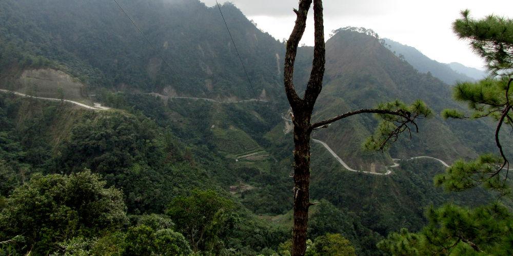
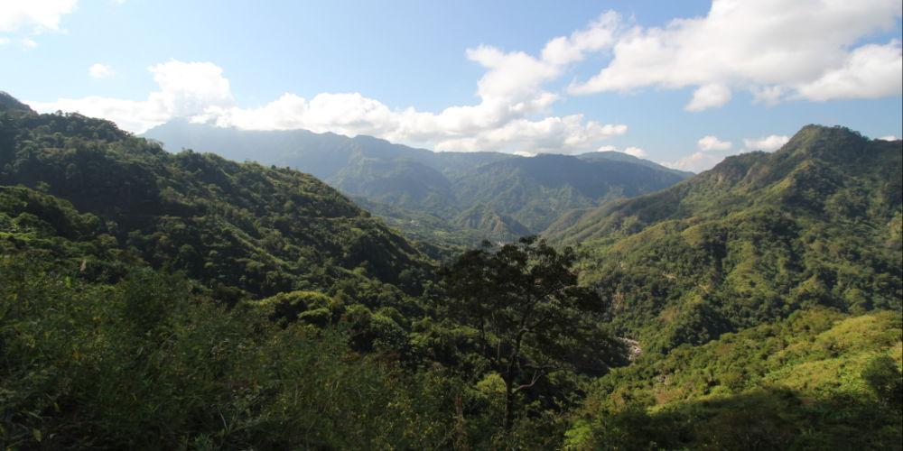
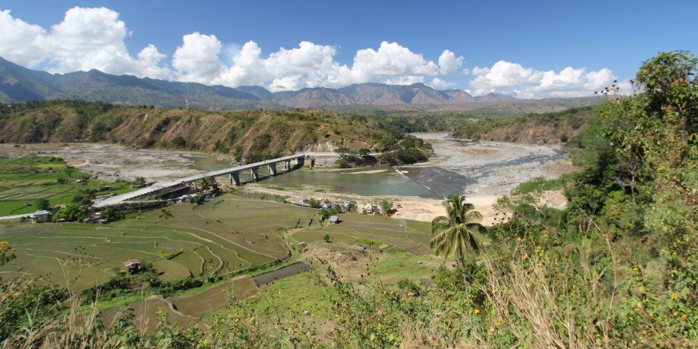
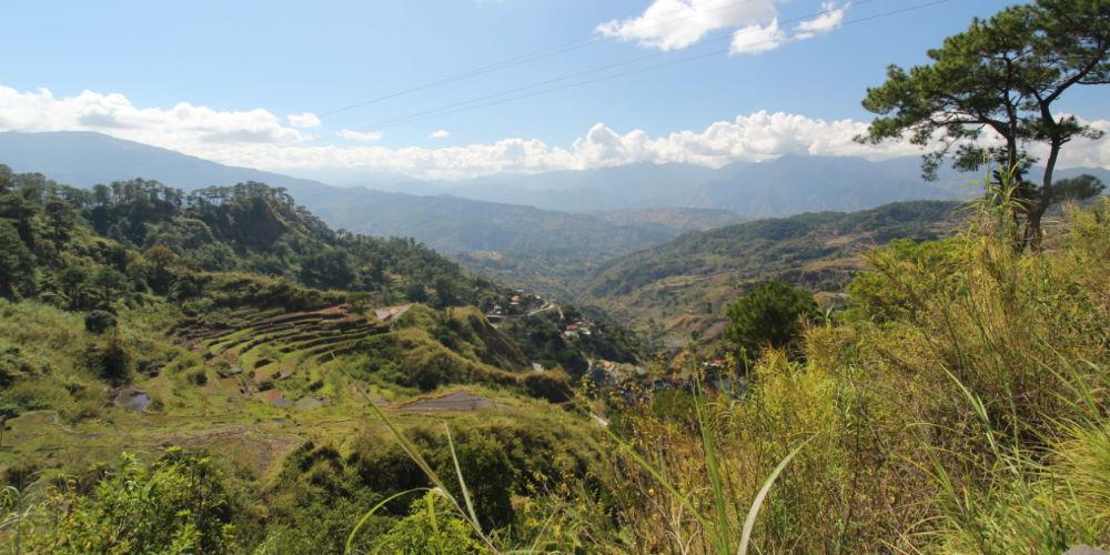
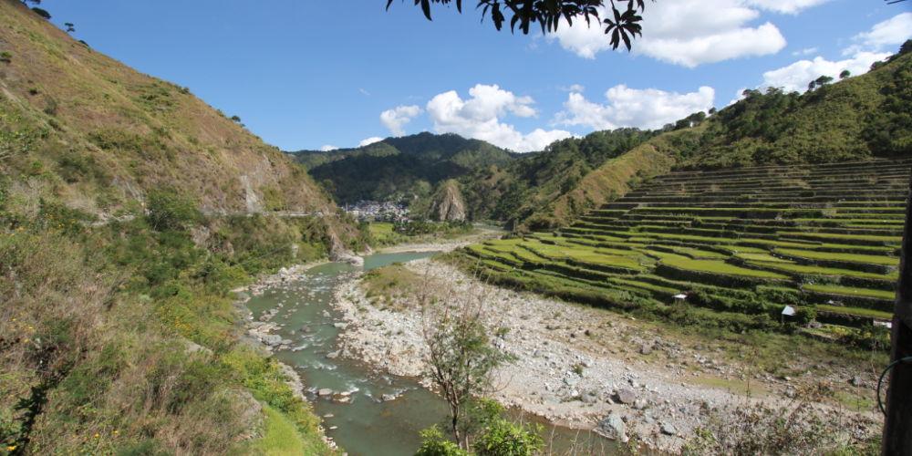
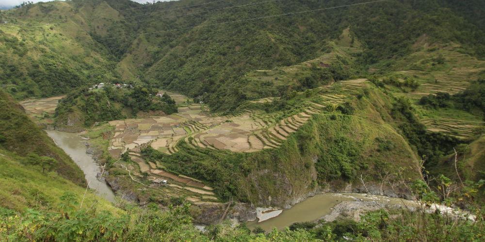
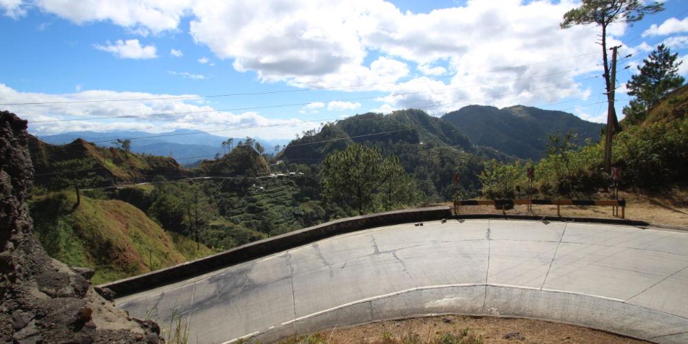
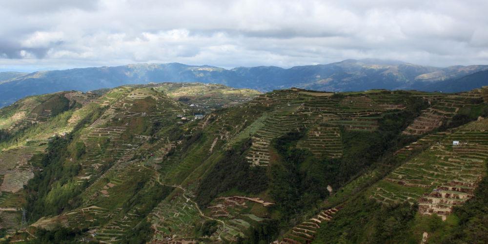
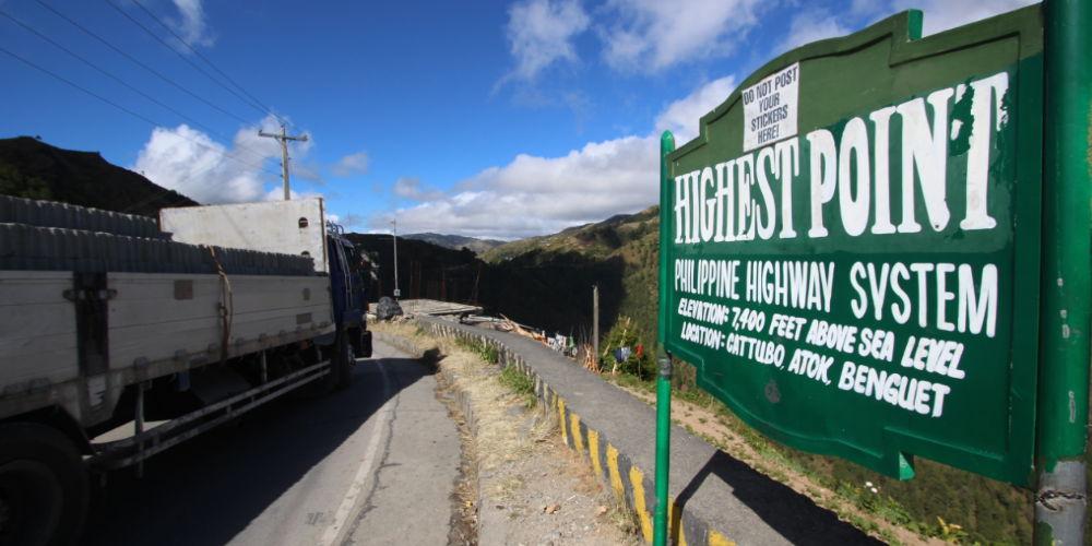
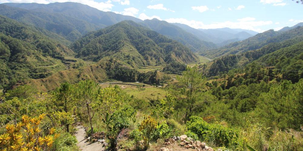
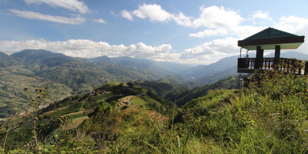
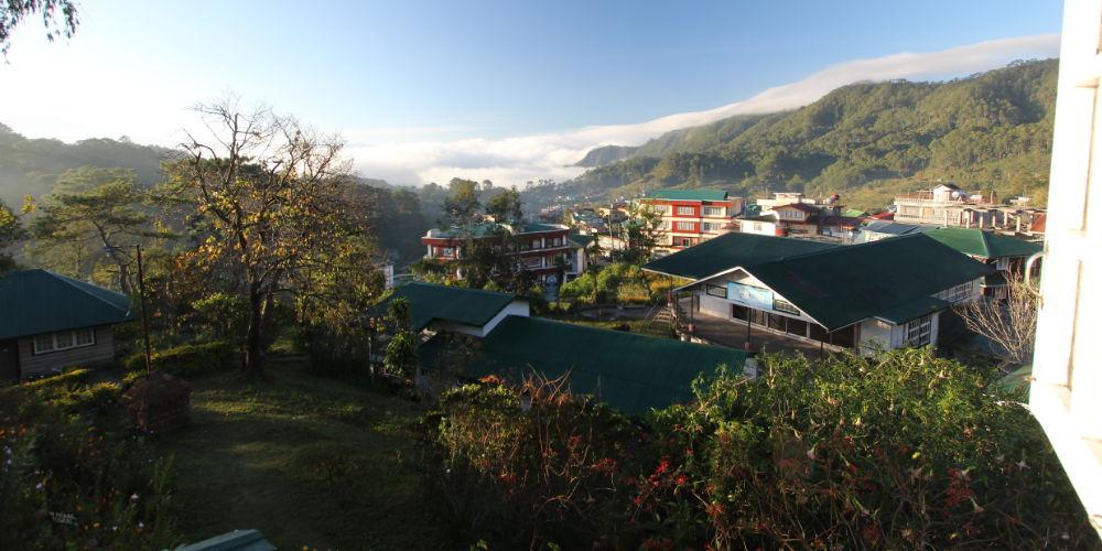
the capital of Benguet, is located at the beginning of the Halsema Highway when driving into the Cordilleras. The Halsema Highway is a toll road that goes up to 2,200 meters (7,400 ft.) and ends after 150 km in Bontoc. In its course, one gets to see the most impressive vegetable terraces (comparable to the rice terraces) that the Philippines have to offer. What the rice terraces are for Banaue, the vegetable terraces are for Benguet and Mt. Province. In the mountains of the Cordillera, vegetables are grown for Manila and the lowlands.
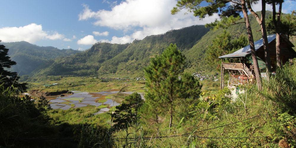
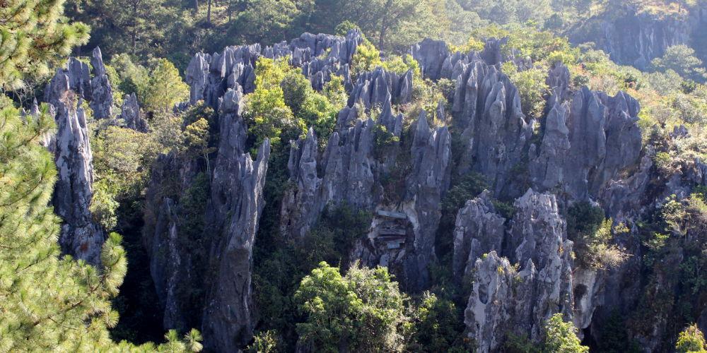
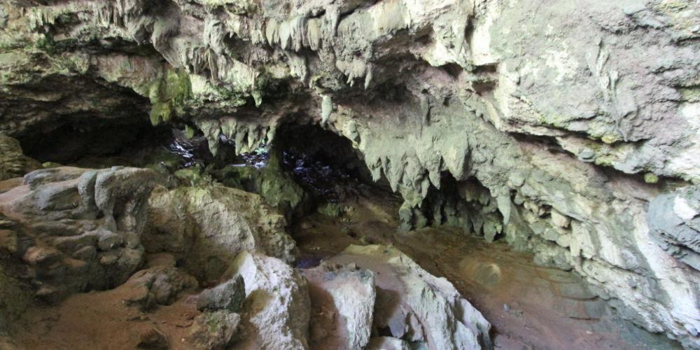
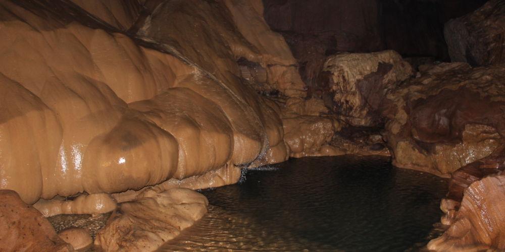
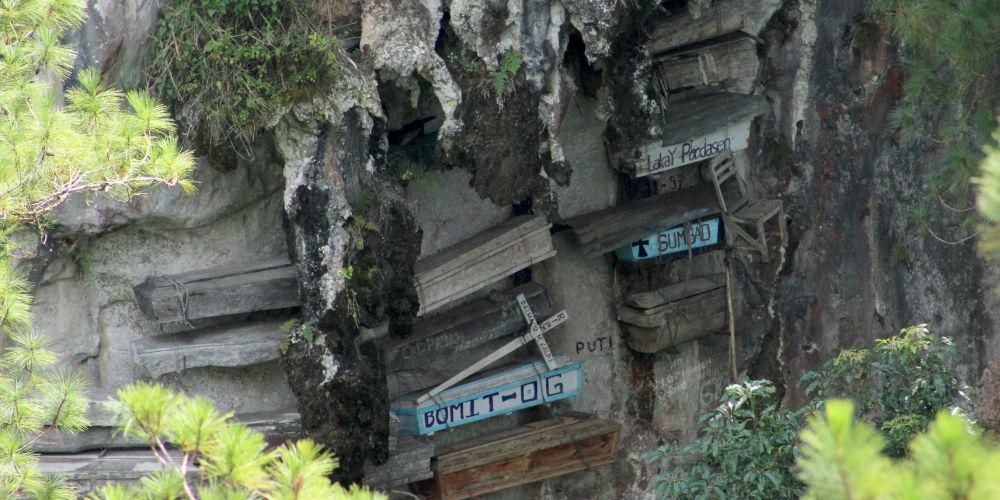
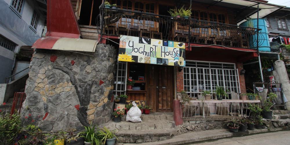
Near Bontoc, another adventurous road leads off to the left to Sagada. Despite increasing tourism, Sagada has retained an original charm that captivates every visitor. As a special attraction, Sagada has the hanging coffins, heavy wooden coffins hanging in the limestone rocks and containing the bones of the ancestors of the inhabitants. Physically fit people are free to make a daring descent into the Sumaguing Cave. This means descending through blackest darkness, past squeaking flying bats and on slippery rocks, only to marvel at a fantastic world of sintered stone at the base. The Yogurt House in Sagada offers, after this somewhat exhausting tour, a refreshing delicacy – yogurt in various ways of serving!
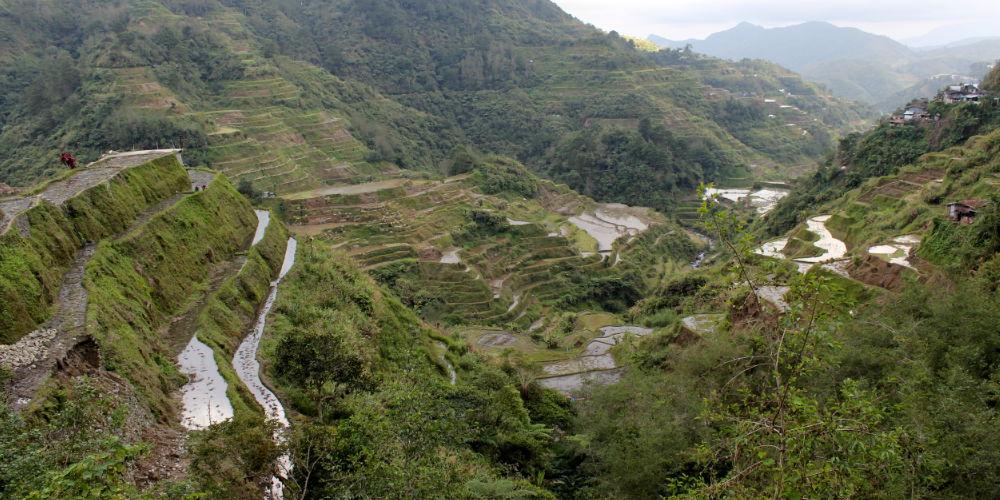
Back to Bontoc, the road that turns right in the center leads to Banaue to the famous rice terraces. These 60 km from Bontoc to Banaue are as adventurous as the Halsema Highway. You will be rewarded again by magnificent views, especially the view of the rice terraces of Bay-Yo.
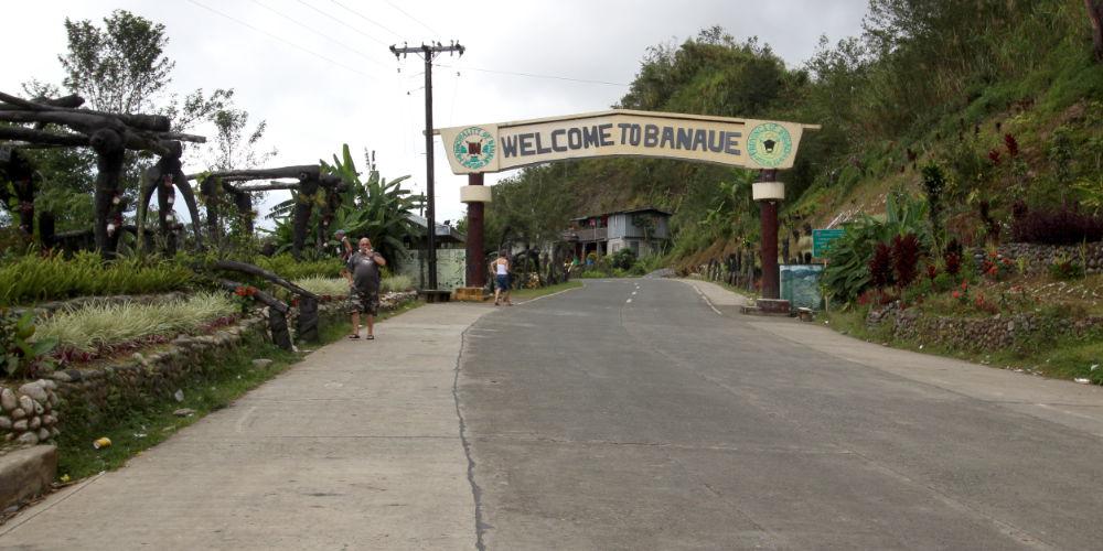
Banaue belongs to Ifugao Province and is world-famous for its rice terraces, which are said to be 2000 years old and are also a UNESCO World Heritage Site. In the Ethnic Village you can get an impression of the living habits of the inhabitants, then and now.
On the way back you will pass Bontoc again, on a part of the Halsema Highway, to Cervantes and then over the Bessang Pass to La Union. From the saddle of the Bessang Pass we enjoy once again the imposing view of the Cordillera mountains. The sight of this also very winding route, down into the lowlands, may demand the last reserves of some. Because after this tour you feel like you’ve made 2,000,000 curves!
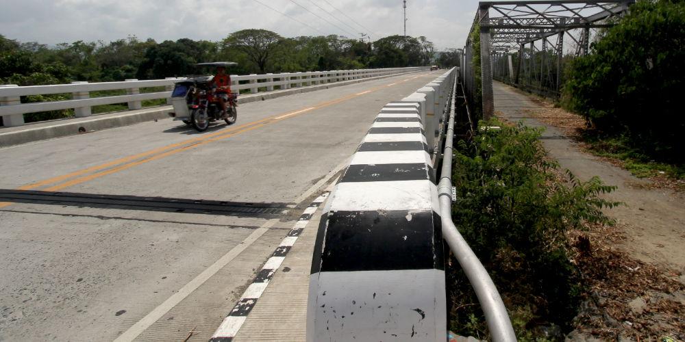
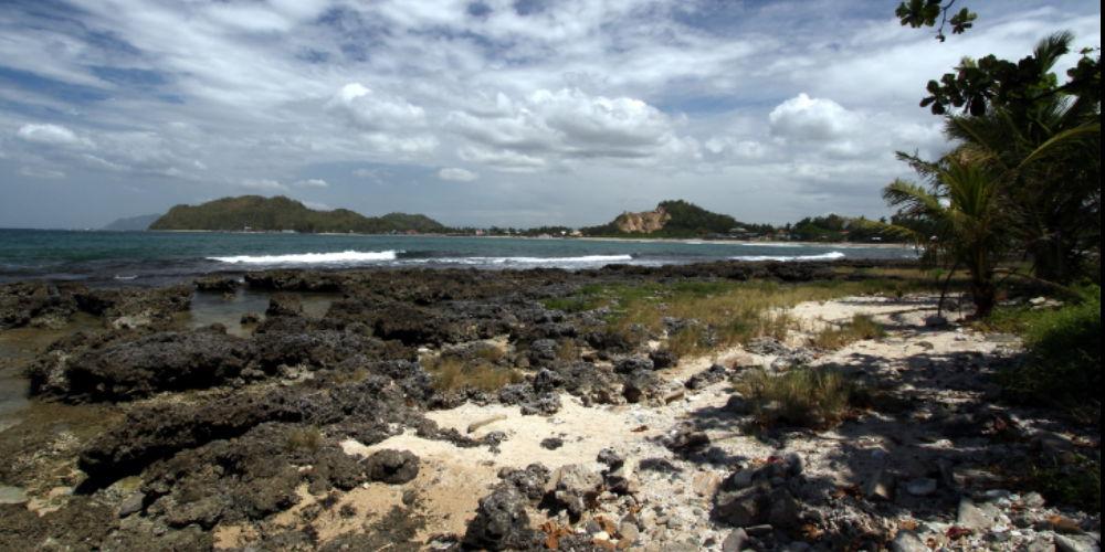
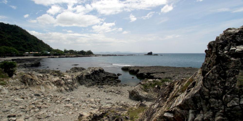
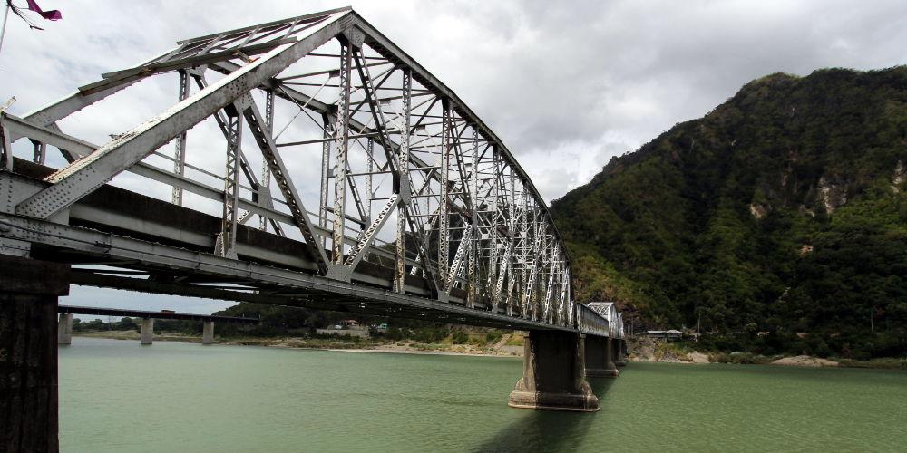
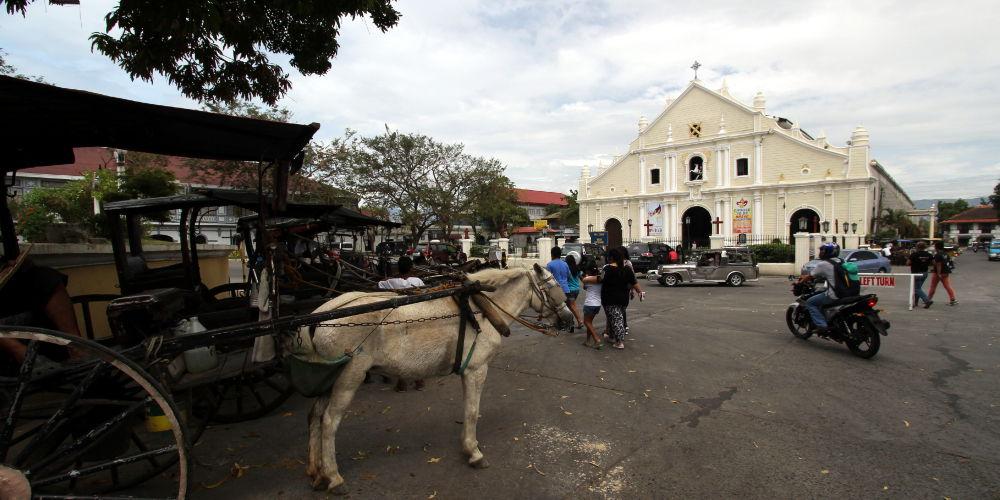
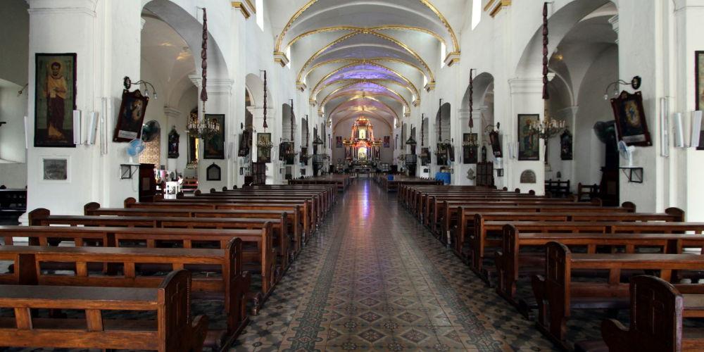
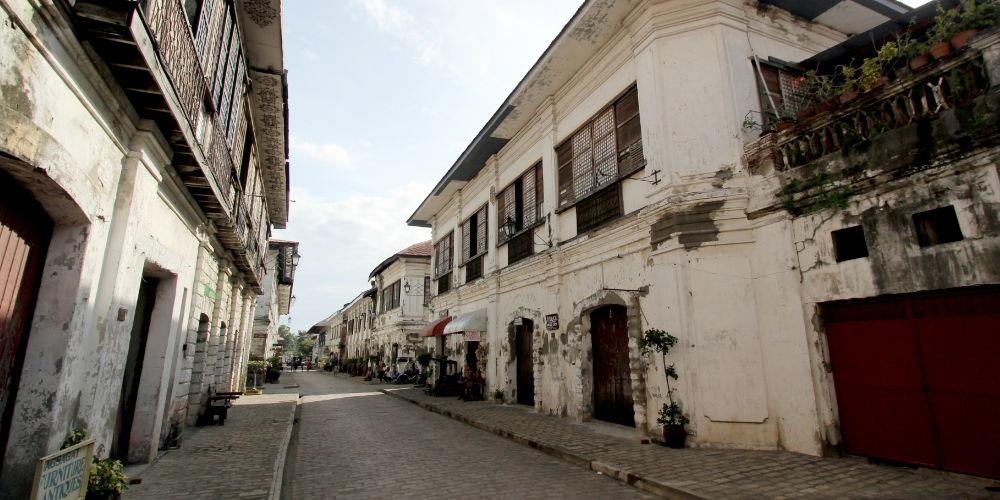
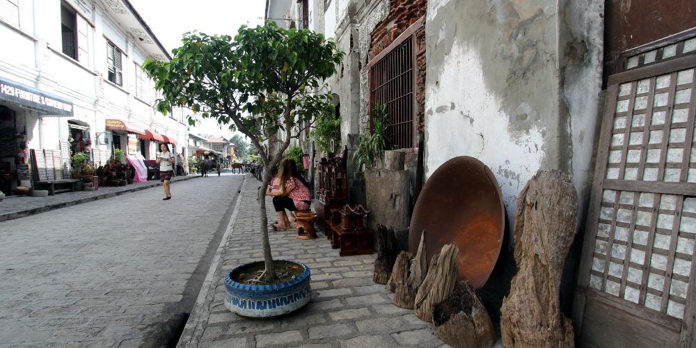
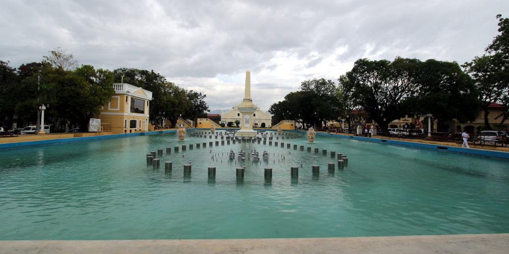
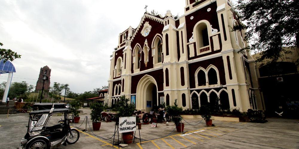
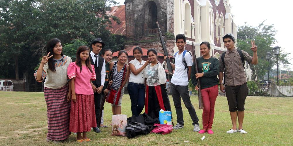
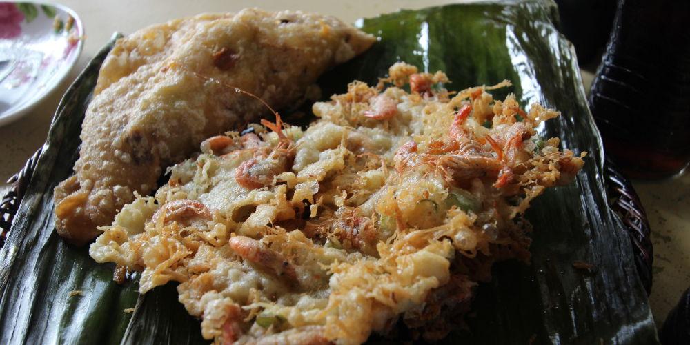
The province of Ilocos Sur has existed since 1572, and was invaded by the Chinese pirate LIMAHONG as early as 1574. The landscape of Ilocos Sur offers very beautiful and charming contrasts. Starting with eternally winding mountain roads (Bessang Pass), sea bays, coral beaches or memories of the past.
The most impressive for history lovers is probably Vigan with its almost 300 Spanish country houses from the colonial era. Partly demolished, partly restored, these buildings, declared a World Heritage Site by UNESCO in 1999, give a very good insight into the way of life of the Spanish occupiers. But also the very famous Bantay Church, with its Bell Tower located far from the main building, is always admired by visitors. Climbing up to the bell tower is always worth the effort, as you are offered a magnificent view over the country.
In the marketplace of Vigan, in the midst of the pulsating life, you can enjoy splendidly the special specialty of Ilocos Sur – Empanada or Okoy.
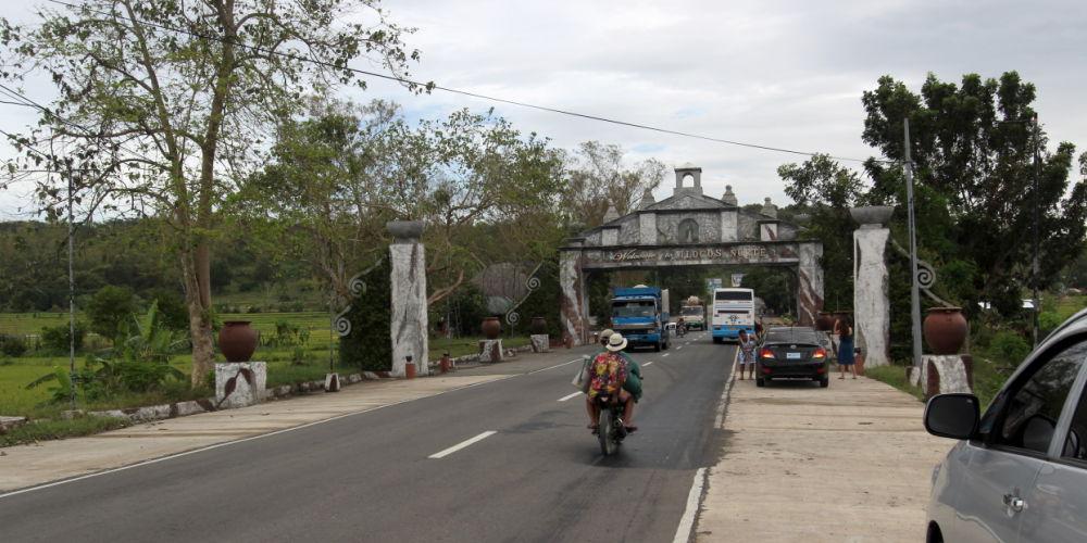
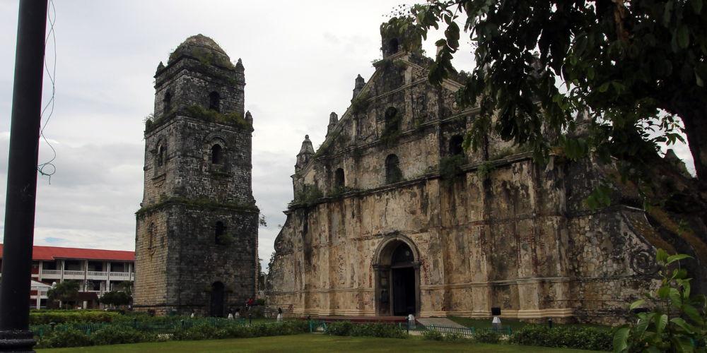
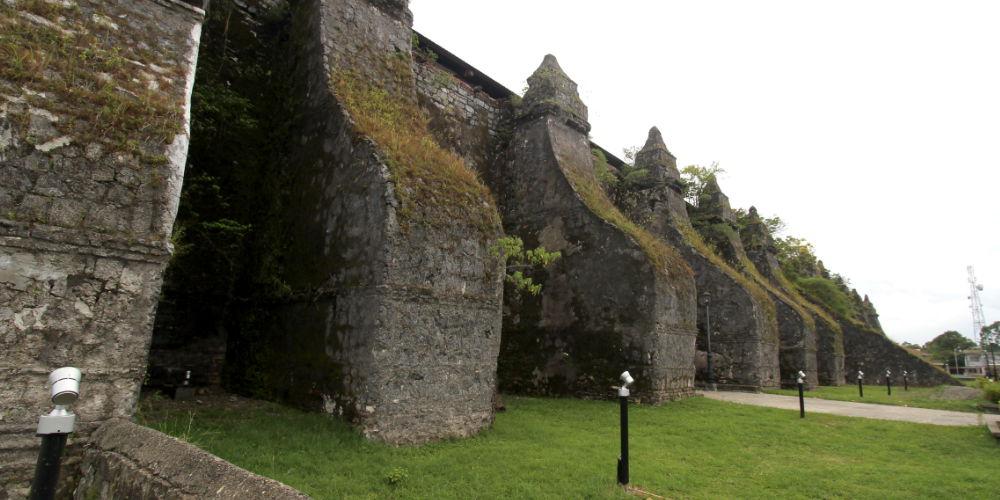
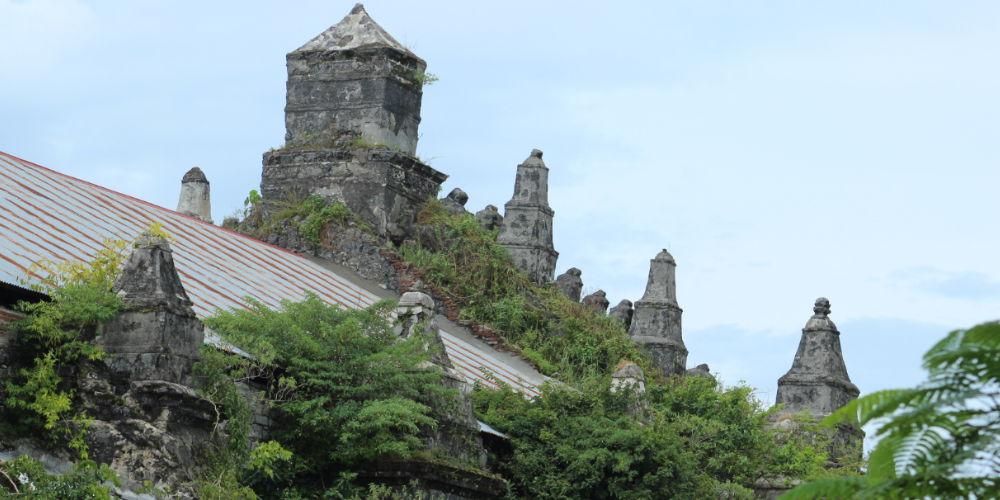
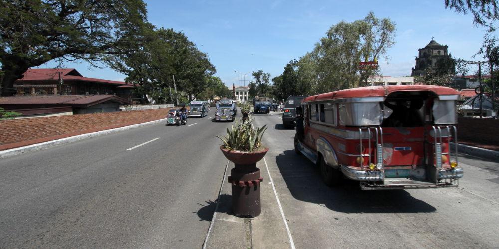
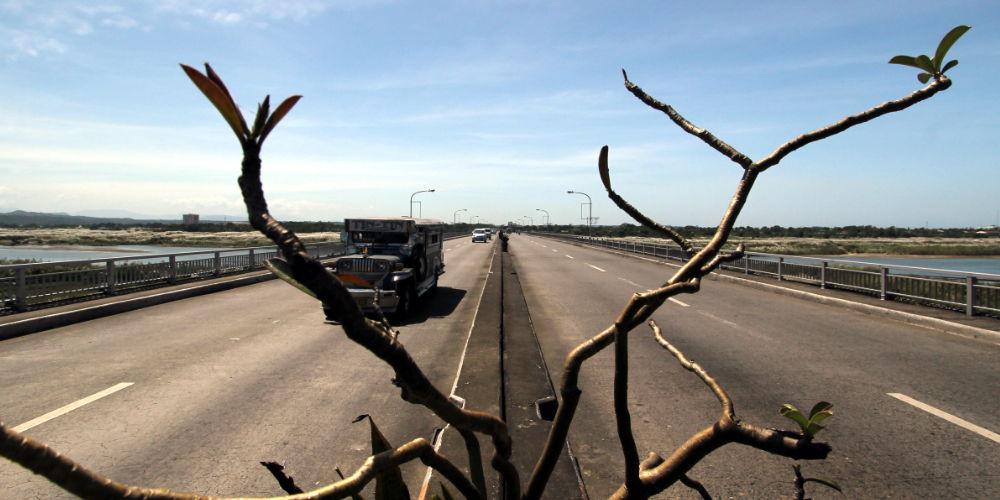
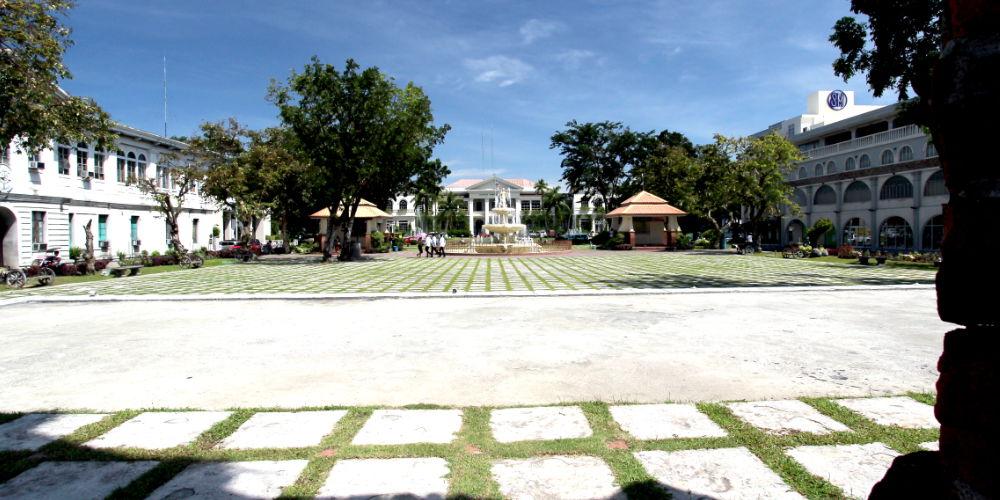
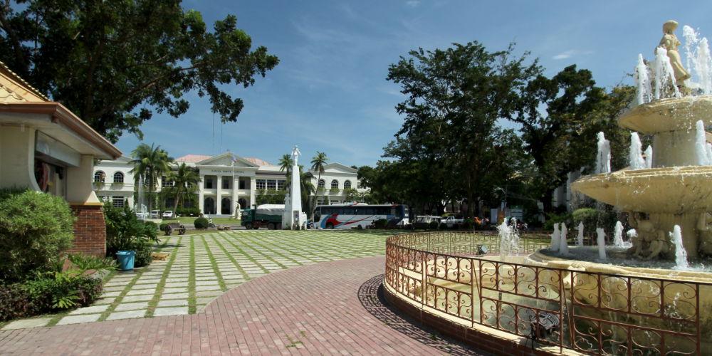
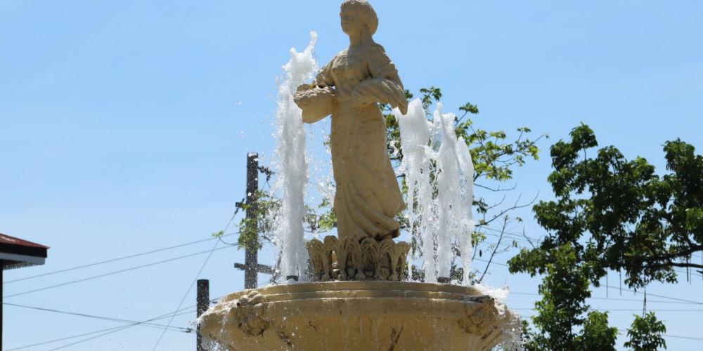
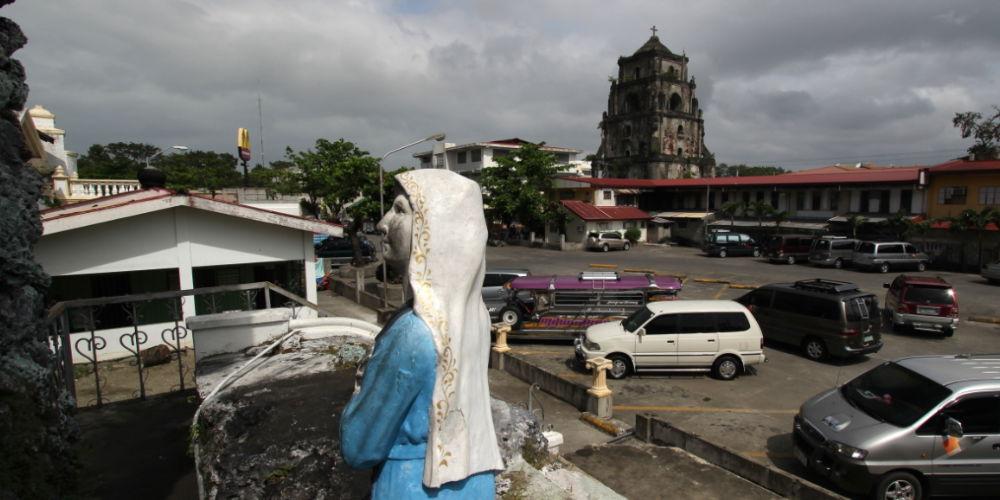
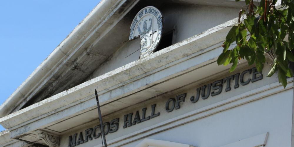
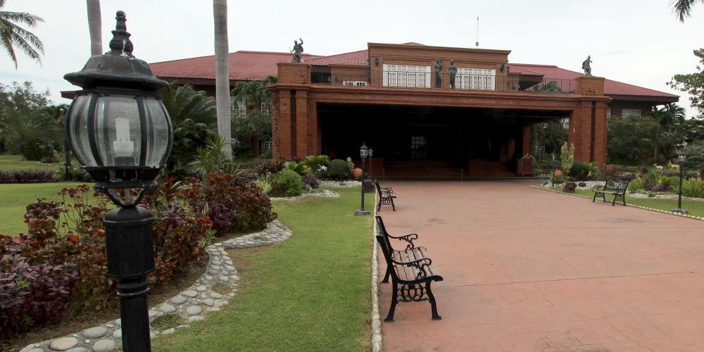
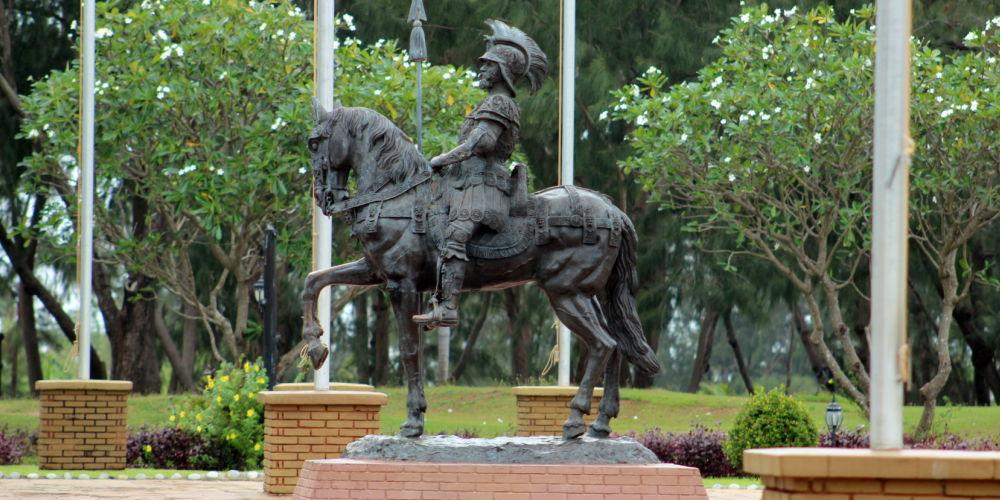

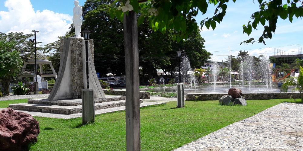
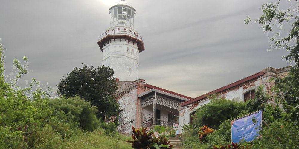
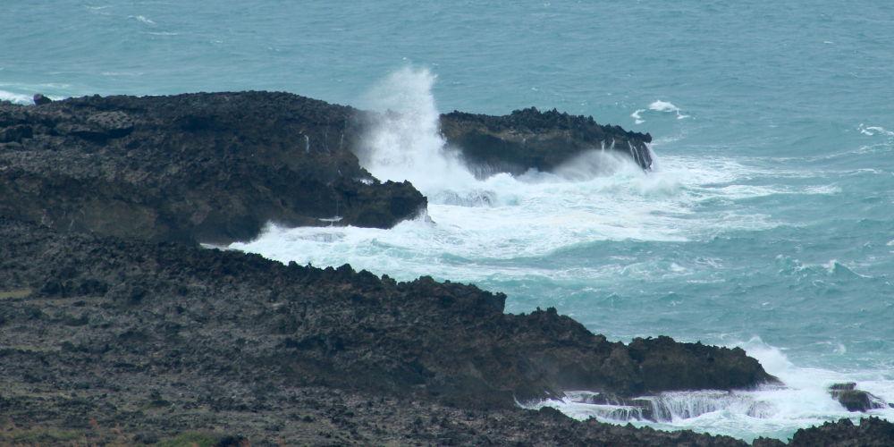
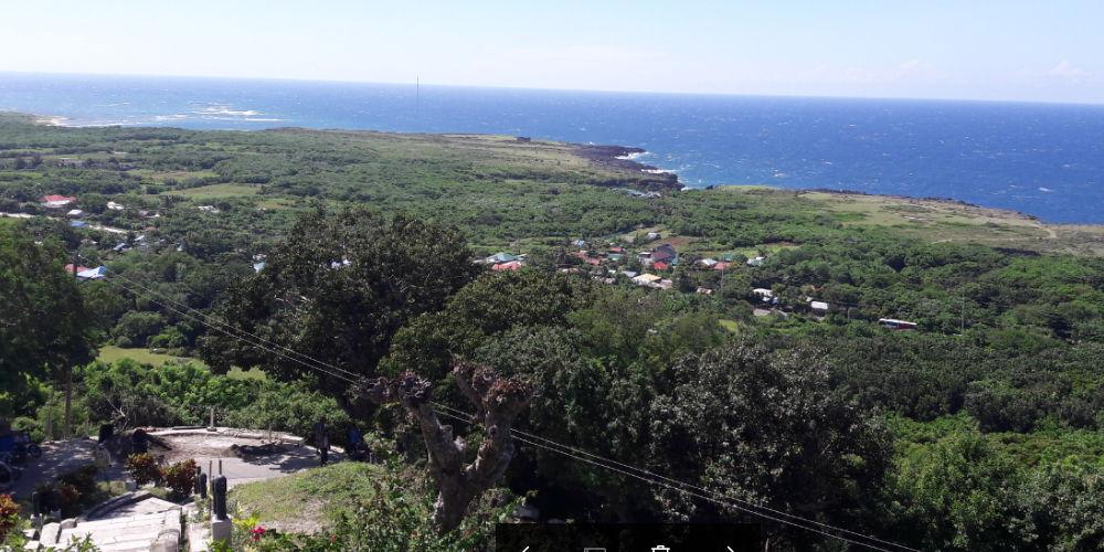
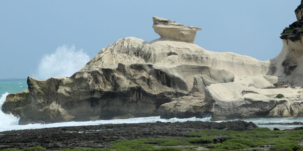
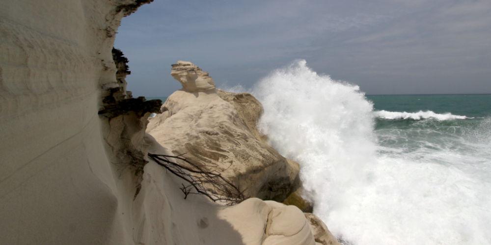
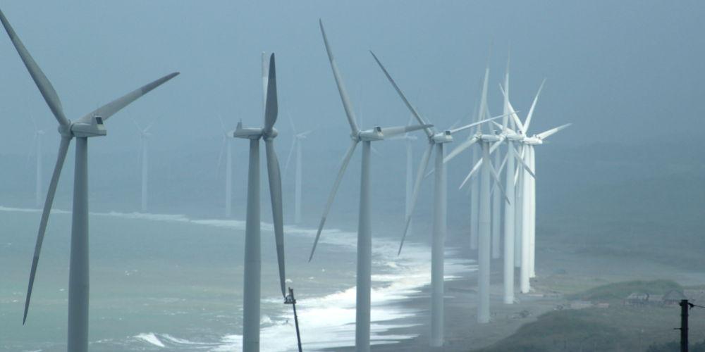
Ilocos Norte must be divided into south and north of Laoag.
South of Laoag is the famous Spanish church of St. Augustine of Paoay, a World Heritage Site. With its massive lateral buttresses, it is a reminder that the Philippines is located in an earthquake zone. The huge complex of Fort Ilocandia is located in the middle of a very famous sand dune landscape. One reason former President Ferdinand Marcos had this summer residence built here was to accommodate guests invited to his daughter’s wedding. In the long corridors of the building, many pictures remind of a glorious past of the ex-president. Today it is an exclusive hotel and also houses a casino.
Laoag is the capital of Ilocos Norte and has some beautiful buildings to visit. The „Sinking Bell Tower“ is probably the most famous of them. Every traveler is greeted by it when crossing the long bridge that leads to Aurora Park at the beginning of the city.
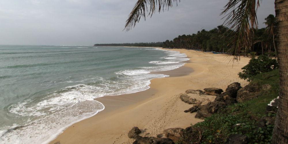
North of Laoag is Ilocos Norte, the epitome of beautiful scenery and rugged nature. Almost every turn gives a view of a different scenery. Constantly blowing strong winds, have formed here the incomparably beautiful sandstone formations of Karpurpurawan, created the white-yellow sand beaches of Saud Beach and Blue Lagoon and are used for generating energy. Burgos is home to a huge windmill park. Quieter than the rest of the Philippines, llocos Norte shows only its most pleasant side. Observant ones will notice that there are no crowds and no heavy traffic. Therefore, one can admire the sights here in a particularly pleasant way. Ilocos Norte can hardly be described – you have to experience it!

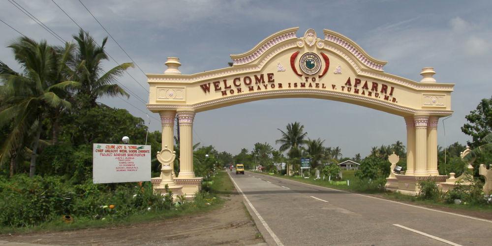
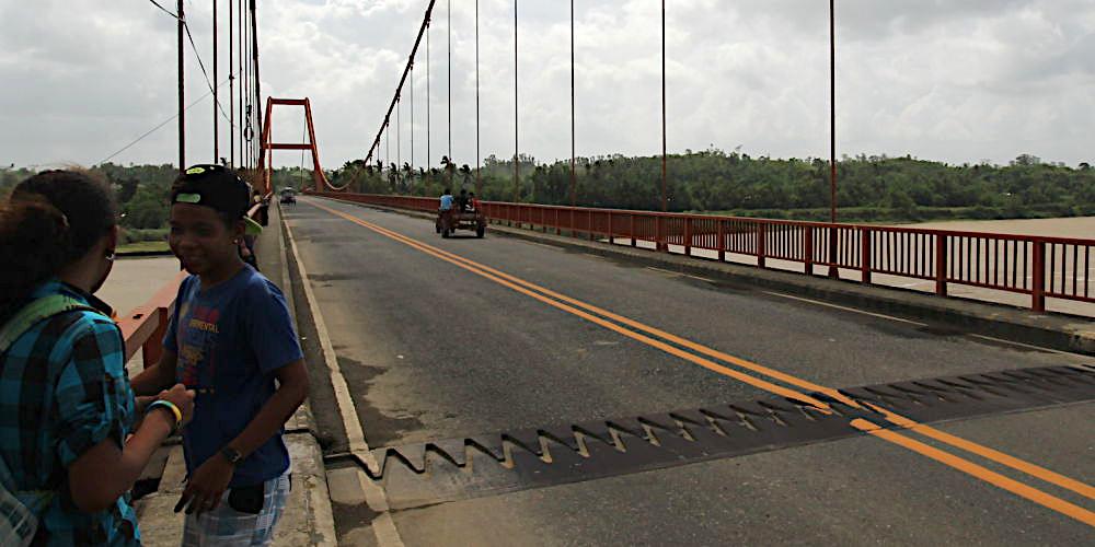

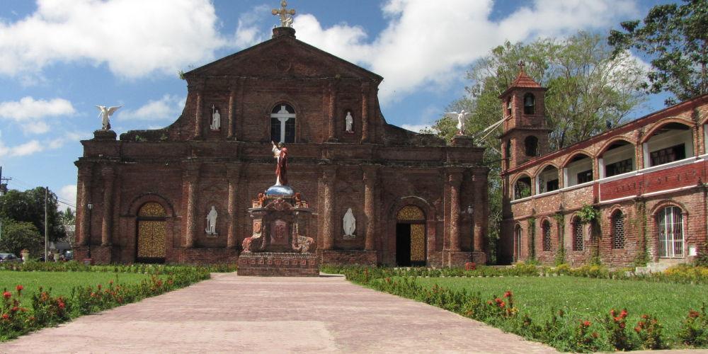



Cagayan is located between the two mountain ranges of Northern Luzon. The Sierra Madre and the Cordilleras. It is crossed by the longest river in the Philippines, the Cagayan River, which flows into the Luzon Strait at Aparri. Aparri is home to the largest weather station in the Philippines. Near Aparri is also a church, in whose bell tower one can find the oldest bell in the Philippines, dating back to 1595.
Cagayan is also the largest rice producer in the Philippines, probably one of the reasons why the Spanish had a massive influence on the country and its people. Sometimes almost boring, huge rice fields stretch out on the drive from Aparri to Tuguegarao.
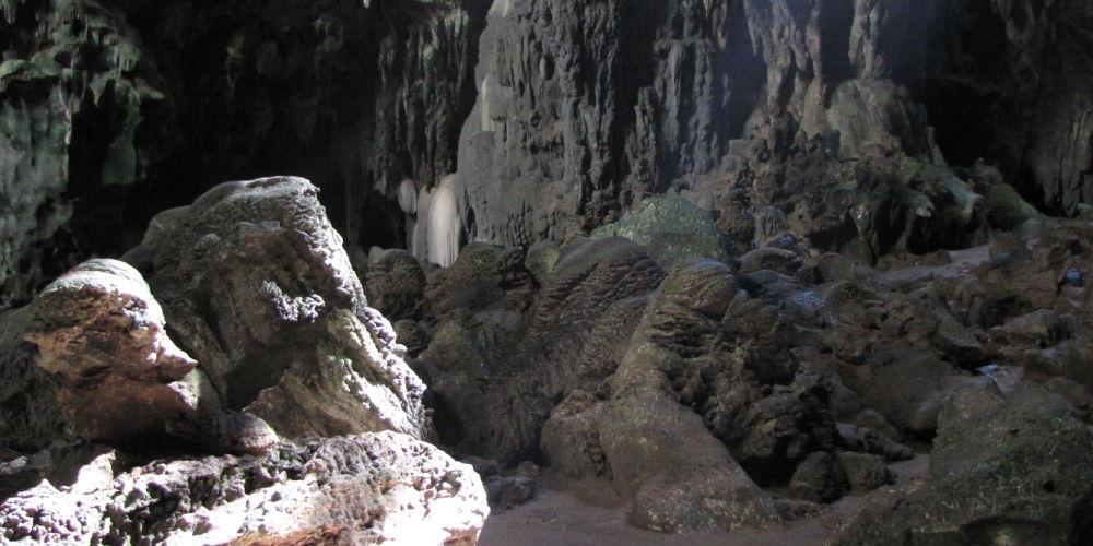
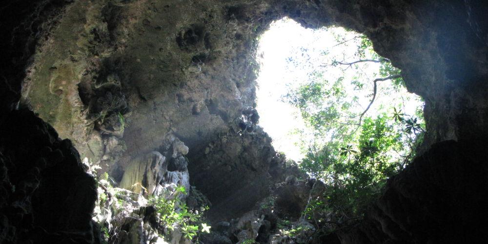
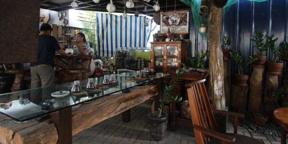
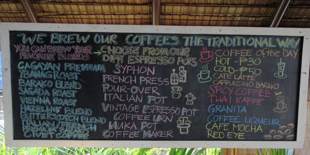
Tuguegarao is a fair city and since 1975 the provincial capital of Cagayan. Here, a wide variety of coffees from the mountainous regions of the Cordillera are offered for sale. In the vicinity of Tuguegarao there is a stalactite cave. The ceiling height of this cave is so high that they even built a church room in it to hold masses.
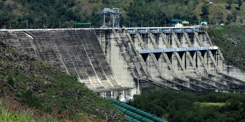
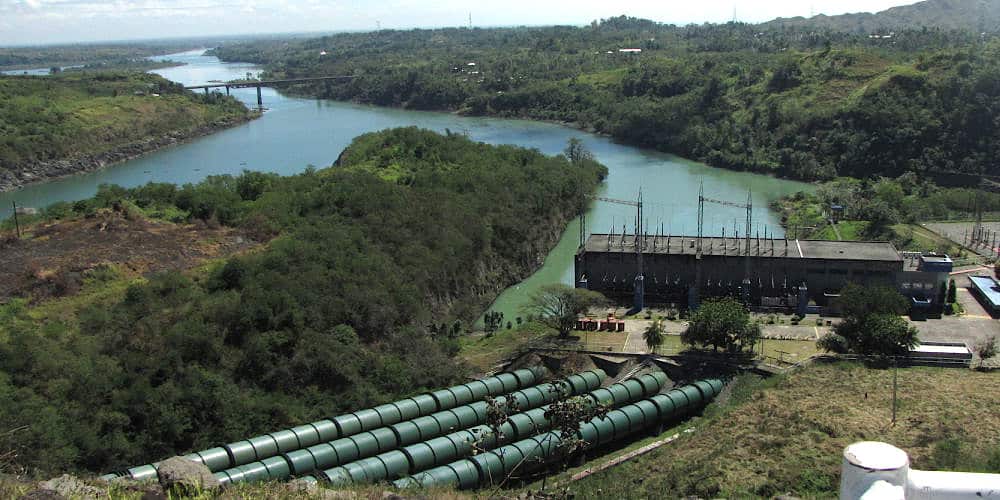
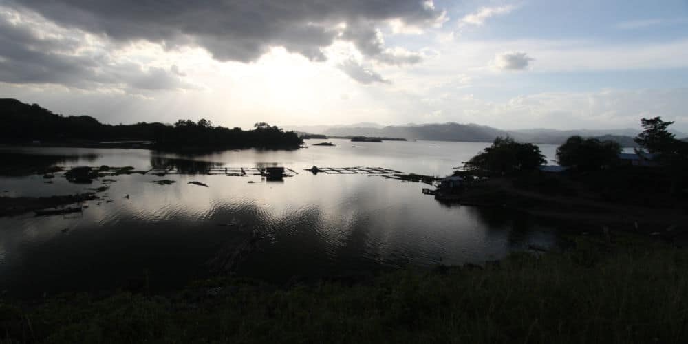
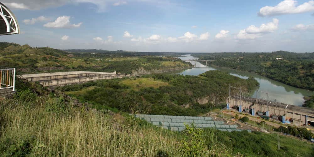
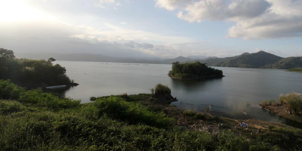
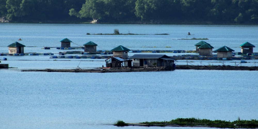
Further south, Cagayan borders Isabela. Isabela is home to the largest dam in the Philippines, the Magat Dam. An impressive structure, with a reservoir used for economic purposes. The inhabitants of the dam area use the lake for fish farming. (See my video about Magat Dam).
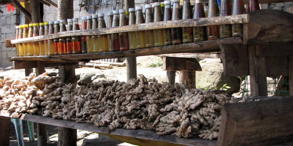
Continuing south, towards Nueva Viscaya, there are numerous products from local agricultural production.
